
FlyPix AI
FlyPix AI GmbH · Image
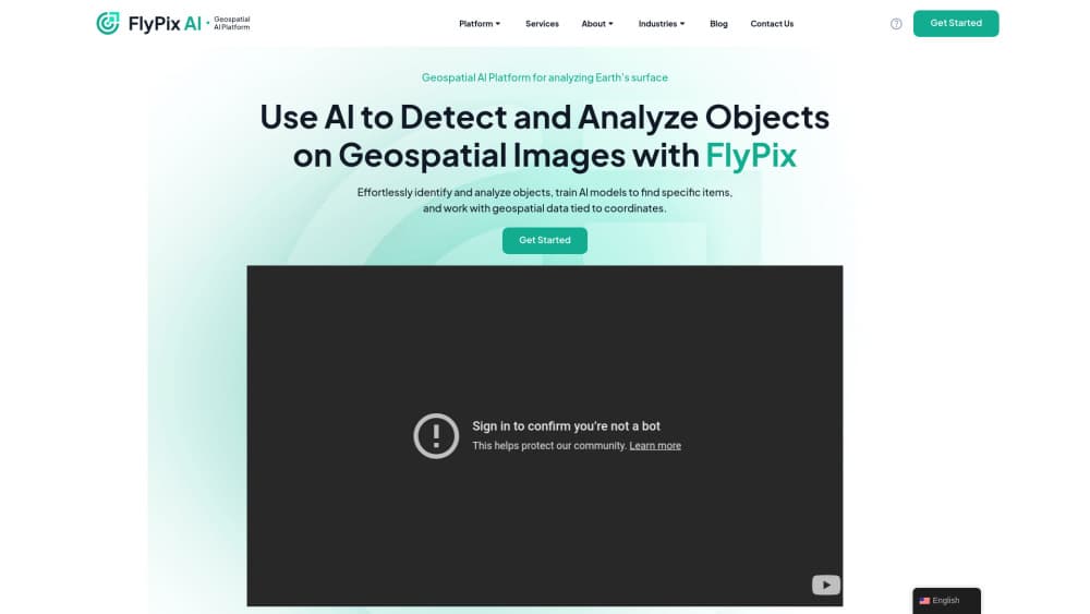
FlyPix AI is a no-code geospatial AI platform that trains custom models to detect and measure objects in satellite, drone and aerial imagery, then turns the results into maps and dashboards.
About FlyPix AI
What Is FlyPix AI
FlyPix AI is a geospatial AI platform built by FlyPix AI GmbH in Darmstadt, Germany. You upload aerial or satellite imagery, label a handful of examples, and the platform trains an object detection model on those labels. The output is a map layer with counts, outlines, areas and sizes for whatever you told it to find.
The product targets people who work with imagery but don't write code. Agronomists, construction planners, port operators and conservation teams use it to replace weeks of manual digitizing. FlyPix says its agent based automation cuts annotation time by up to 99.7 percent, a figure the company publishes on its own homepage.
The main limit is scope. FlyPix is built for imagery that covers ground from above, so it won't help with documents, medical scans or street level photos. Model quality also depends on how clean your training labels are, and small objects in low resolution scenes stay hard to separate no matter which platform you use.
Getting Started
- Create an account at app.flypix.ai and pick a plan, or start with the sandbox to explore sample projects first.
- Upload your imagery. The platform accepts drone and satellite files plus multispectral, hyperspectral, LiDAR and SAR data.
- Draw a few annotations around the objects you care about. FlyPix builds the training set from those labels.
- Train the model and run inference across the full scene, then review detections on the interactive map and export the results.
Product Information
A quick look at FlyPix AI's pricing, supported platforms, and performance.
Best for
The users, tasks, and scenarios where this tool fits best.
Users
- GIS and remote sensing analysts
- Agronomists and farm managers
- Environmental and conservation teams
Tasks
- Crop health and irrigation planning
- Construction progress tracking
- Land use classification
- Port and yard inspection
Scenarios
- Counting sparse objects across very large areas
- Working with mixed data sources on one project
- Reviewing change after an event
Key features
No-Code Model Training
You train a model by drawing shapes on your own imagery, not by configuring hyperparameters. FlyPix adapts the training set from a small number of labels, which keeps setup short for teams without machine learning staff. Custom models stay inside your workspace and can be reused on new flights.
Object Detection, Segmentation and Localization
The platform finds objects, outlines their boundaries and returns their location along with attributes such as type, area and size. That combination matters for inventory work, because a count alone doesn't tell you how much ground a feature covers. Dense scenes with hundreds of objects in a small area are handled in the same pass.
Change and Anomaly Detection
Compare two capture dates and FlyPix highlights what appeared, disappeared or shifted. Area changes over time get flagged so unusual patterns surface without a manual side by side review. This is the core of monitoring work: new construction, illegal clearing or a failing irrigation line.
Multi-Source Data Support
Satellite and drone imagery both work, including RGB, multispectral, hyperspectral, LiDAR and SAR. Mixing sensor types in one project means a cloud covered satellite pass can sit next to a clear drone flight of the same site. Hyperspectral bands are useful when you need vegetation stress signals that plain RGB can't show.
Dashboards, Heatmaps and Interactive Maps
Results land on an interactive map, and heatmaps show where detections cluster or where intensity is highest. Teams that need geospatial analytics without a separate BI tool build dashboards for stakeholders who won't open the raw data. For satellite image analysis at regional scale, the heatmap view is usually faster to read than a table of counts.
Collaboration and Shared Annotation
Multiple users can open and edit the same project, split annotation work between people and comment on each other's labels. For drone imagery analysis on a deadline, that turns a solo task into a parallel one. Sharing also covers dashboards, so a client can follow results without a separate license.
Pros and cons
Pros
- No coding required, so analysts who know the terrain but not Python can still ship a working model.
- Handles drone, satellite, LiDAR and SAR inputs in one workspace instead of forcing a separate tool per sensor.
- Custom models are trained on your own labels, which beats generic pretrained detectors on niche targets like specific crop rows or container types.
- Map, heatmap and dashboard output means results reach non technical stakeholders without extra work.
- Credit based plans let a small team start on a low tier and scale up when a project grows.
Cons
- Pricing isn't published on the site, so you have to request a quote before you can budget a project.
- Very small objects in low resolution imagery remain hard to detect, which forces higher altitude capture costs.
- Model quality tracks label quality closely, and messy or inconsistent annotations produce weak results that need retraining.
- Public API documentation is thin, so teams planning to push results into an existing GIS pipeline should confirm integration options first.
Frequently asked questions
It detects and measures objects in aerial and satellite imagery. Typical jobs are crop scouting, construction progress checks, land use mapping and change monitoring after floods or storms.
Related content
Explore related tools, skills, and articles for FlyPix AI.
FlyPix AI Alternatives

Google EmbeddingGemma 2
Google DeepMind · Writing · Image · CodingGoogle EmbeddingGemma 2 is a 740M-parameter open model that turns text, code, images, audio, and video frames into vectors in one 768-dimension space, running on phones and laptops.

Tractionwave
TractionWave · Image · MarketingTractionWave is an AI attention heatmap tool for static ads. Upload a PNG or JPG and it returns predicted attention, ranked hotspots, and fixes before you spend budget.

Imejis.io
Imejis.io · Image · MarketingImejis.io is an AI design studio for agents and marketing teams. Describe an image in plain words, and it writes the copy, builds the layout, reflows it to every size, then exports a finished file.