

GeoSpy
Graylark Technologies Inc. · Image
GeoSpy is an AI image geolocation tool that reads photos and estimates where they were taken, built for law enforcement and government teams.
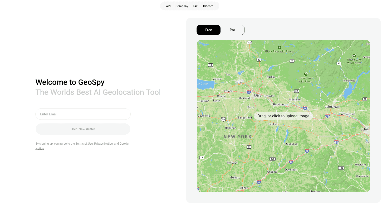
About GeoSpy
What Is GeoSpy
GeoSpy is a visual intelligence platform from Graylark Technologies Inc. that guesses a photo's location from pixels alone. You upload an image and its computer vision models weigh landmarks, architecture, terrain, and vegetation, then return a best guess on a map. No EXIF metadata and no GPS tag required.
The company positions it for qualified government and enterprise organizations rather than everyday users. Graylark says the tool has helped with more than 10,000 cases worldwide, and its strongest coverage is inside the United States. It reads images without embedded location data, which is the whole point for investigators working with low-context photos pulled from social media or seized devices.
The main limit is access. GeoSpy isn't a free consumer photo geolocation app, and Graylark doesn't publish a public price list. You have to contact the company, and licensing goes to verified agencies and enterprises only. Graylark also points new users toward Raven, its newer interface.
Getting Started
- Visit geospy.ai and use the contact form to describe your organization and use case.
- Wait for the team to verify your agency or enterprise status before it grants access.
- Once licensed, open the web app and upload a photo that has no location metadata.
- Read the predicted region on the map and compare it against the AI's confidence level.
- Cross-check the result with any GPS data you already hold before acting on it.
Product Information
A quick look at GeoSpy's pricing, supported platforms, and performance.
Best for
The users, tasks, and scenarios where this tool fits best.
Users
- Law enforcement investigators
- Government intelligence teams
- Enterprise risk and security teams
Tasks
- Locating photos stripped of metadata
- Verifying where an image came from
- Triaging image evidence fast
Scenarios
- Criminal investigations with seized phone photos
- Newsroom verification of user-submitted images
- Fraud and insurance claims
Key features
Pixel-Only Geolocation
GeoSpy's core models estimate a location without any EXIF or GPS data. That's the whole trick. The system studies architectural styles, vegetation, soil, and how buildings sit in relation to each other, then returns a probable spot. Graylark describes the accuracy as up to meter level for some inputs, so treat results as a strong lead, not a legal certainty.
Built for Investigative Workflows
This isn't a novelty app for curious travelers. Graylark designed the platform around investigative and intelligence work, and the company says it has supported over 10,000 cases worldwide, a figure the vendor publishes on its own marketing pages rather than in independent audits. The interface assumes you're working a specific question about a specific image, not browsing for fun.
Confidence and Map Output
Every prediction lands on an explorable map, and the tool reports how sure it's about the guess. Does a high-confidence hit in a well-covered region mean the same as a vague country-level guess? No. Those two results call for very different next steps. Use the confidence signal to decide how much weight to give the result.
Corporate Ownership and Roadmap
Graylark Technologies Inc. runs GeoSpy and also markets Raven as a related interface, steering new users toward it. Ownership sits with the same Boston-based company that built the original tool, so the roadmap and the licensing terms come from one vendor. Check with the team which product fits your access level before you commit.
Pros and cons
Pros
- Works on images with no GPS or EXIF data, which covers most re-shared photos.
- Fast map output with a confidence level attached to each prediction.
- Backed by a vendor that publishes case examples and a track record of over 10,000 cases.
- Aimed squarely at professional use, so the workflow matches investigative needs.
Cons
- Not available to individuals, since licensing is limited to verified agencies and enterprises.
- No public pricing. Budget talks start only after you reach the sales team.
- Strongest accuracy is reported inside the United States, so results elsewhere can be rough.
Frequently asked questions
It analyzes a photo's pixels and estimates where the picture was taken, then plots the guess on a map. Simple. It works without metadata, so a screenshot or a re-saved image still gets a location estimate.
Related content
Explore related tools, skills, and articles for GeoSpy.
GeoSpy Alternatives

X Ray Interpreter
X-ray Interpreter · ImageX Ray Interpreter is a web-based AI radiology tool that turns X-rays, CT scans, MRI, ultrasound, and PET images into plain-language reports. You upload a scan, get a preliminary X-ray interpretation in moments, then ask follow-up questions if something needs explaining. It works as a second opinion and a learning aid, not as a medical diagnosis.

Aieasypic
AIEasyPic · ImageAIEasyPic is an AI image generator that turns plain text prompts into finished artwork in seconds. You can also train custom models on your own photos, swap faces in existing images, and create short video clips from text, all from a browser. It suits casual creators who want quick visuals and hobbyists who want to build a personal model without touching any code.

Chargen
Chargen · ImageChargen is an AI character generator and worldbuilding toolkit built for Dungeons & Dragons and other tabletop RPGs. It turns a one-line idea into a painted character portrait, spins up NPCs, monsters, maps and encounters from the same session, and keeps every creature's details close at hand. The tabletop RPG art side runs on a credit system called Gold, while the text generators stay free for everyone.